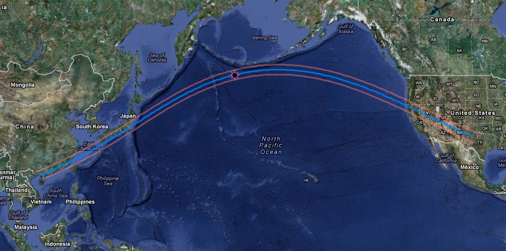
From sunrise (China) to sunset (Texas)
with maximum eclipse in the northern Pacific.
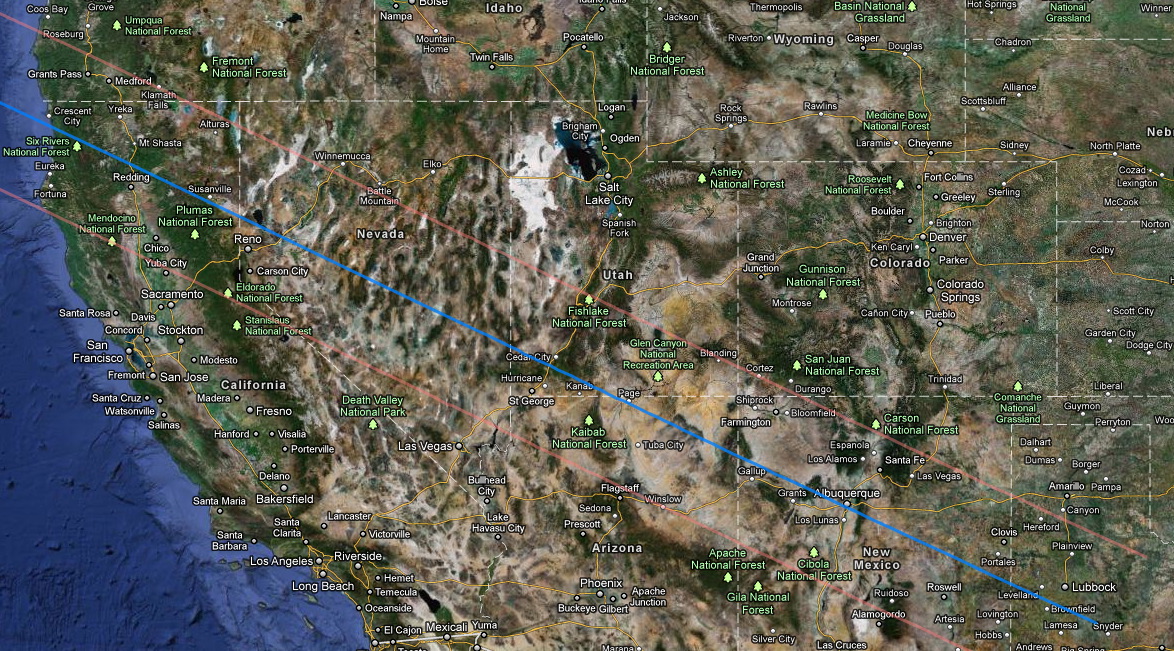
In the SW USA, the centerline of the
path of annularity (blue line below) made landfall over northern
California, then traversed Nevada, southern Utah, northern
Arizona, the southwest corner of Colorado, New Mexico, and (at sunset)
western Texas.
This, for me, was quite
fortuitous. Normally, "I don't do annulars", and with totals more
often than not find the need to
trek to
the most distant parts of the globe to locate in the Moon's
shadow. But, here was an annular, visible right from my home
state (Arizona) that, by chance, was also at that time of year, in the
most favorable location (in the NE part of Arizona) by far with a
dearth of cloudy weather (see below). Indeed, the drive to the
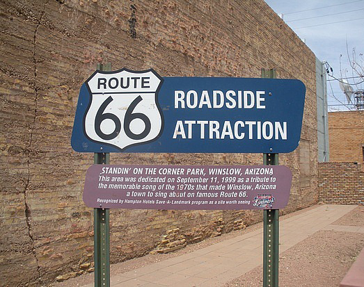
small town of Winslow, Arizona (of "Standin' on the Corner" fame)
- bifurcated by the southern limit of the path - was only 5-1/2 hours
from my house in Tucson. ROAD TRIP!
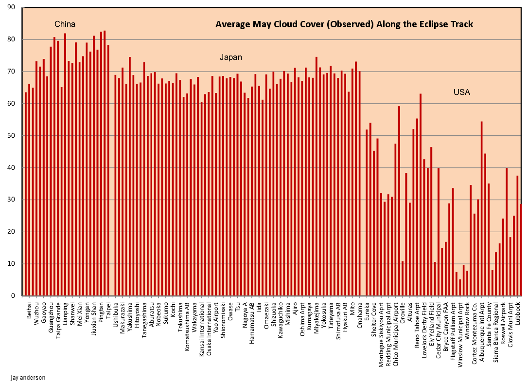
CLOUD-COVER
EXPECTATION (AVOIDANCE)
In the SW USA, the expectations for lack of cloud cover are most
favorable for northern Arizona, and in particular for the region in and
around Winslow - a town which is itself located on the southern limit
of the path of annularity. See below monthly average cloud cover
statistics across the path of annularity for May as compiled by Jay
Anderson. See
Jay's
web site for more information.
May monthly cloud cover
percentage along the path of annularity - compiled by Jay
Anderson. Note a local minimum at Winslow Municipal Airport @ 5%
(!)
CENTERLINE
VS. EDGE
Eclipse observers traveling into the
path of annularity will usually
elect to position themselves either (a) on "centerline" (blue line on
maps above), (b) just inside the annular path limits (orange lines on
maps above), or (c) some locations in between of particular
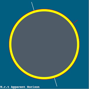
geographical interest. From centerline (a), the Moon
traverses centrally across the annularity larger solar disk, leaving a
concentric annulus of photospheric light surrounding the moon at
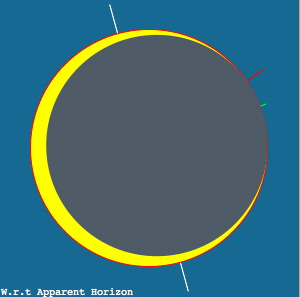
mid-eclipse. From (b), just inside (~ 1-2 km) the northern or
southern
limits, the moon's silhouette in front to the Sun at mid-eclipse has
one limb of the Moon internally tangent to the solar limb at
mid-eclipse. From there an extreme "solar crescent" forms - with
the jagged edge of the moon (from its mountains and valleys seen in
silhouette)
- and causes a continually changing pattern beads of sunlight
near the
point of tangency for up to ~ 2 minutes centered on mid-eclipse. (E.g.,
click and
HERE
and
HERE
to see
videos of of near-limit Baily's beads from the May 10, 1994
annular solar eclipse).
|
|
 |
(a)
Mid-eclipse
on Centerline
(near Page, AZ)
|
(b)
Mid-eclipse
2 km inside southern limit
(near Winslow, Arizona)
|
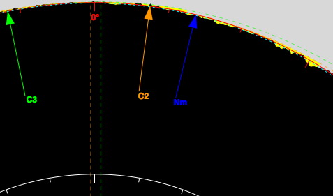
Limb profile
detail at C2 near Winslow, Arizona
(solar North up in this display)
|
Above
graphics generated with Xavier Jubier's "Solar
Eclipse Maestro" S/W for MacOS X
|
Click HERE to see an animation of the progression of
the Moon across the Sun for +/- 5 minutes centered on
mid-eclipse as will be seen from just north of Winslow, Arizona (as
discussed below).
For ASE 2012 the plan is to observe from just inside southern limit to
see extended Balily's bead phenomenena with a prolonged C2-to-C3
internaly-tangent transit of the Moon's limb --
not from a centerline location.
For TSE2012, a group of about a dozen of us decided to opt for
opportunity (b) to observe the dynamic event of a lunar limb "graze"
along the edge of the solar photosphere with a curvi-linear dance of
beaded sunlight around the lunar limb from contact 2 to contact 3.
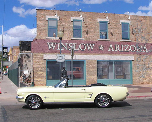
TAKE IT EASY (click):
"WELL I'M STANDING ON A CORNER IN
WINSLOW, ARIZONA AND SUCH A FINE SITE TO SEE..."
Given then the statistically best likelihood for clear skies and the
serendipitous (for me) proximity to Tucson, the "plan" (modulo
near-term weather forecast
modification) was to observe ASE 2012 from just north of
Winslow, Arizona, 2 km (+/- 0.5 km)
north ("inside") of Southern limit. From Winslow, eclipse
first
contact (partial ingress phase) began at 5:27 PM MST on the evening of
Sunday, May 20, 2012. Mid-annularity is at 6:36 PM MST, and the
sun set at 7:23 PM in 25% partial eclipse.
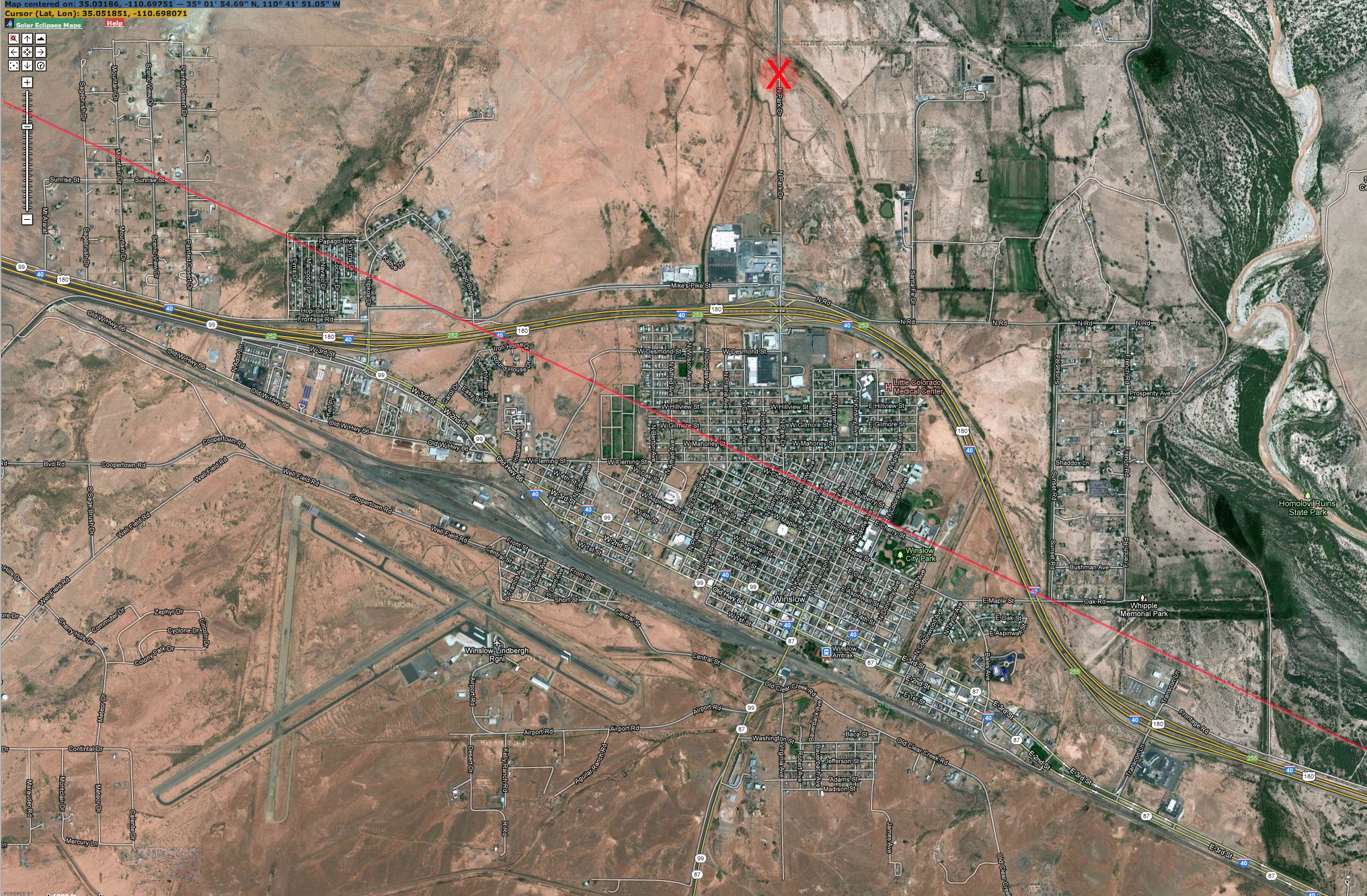
The annotated (north "up") satellite
photo below shows the town of Winslow, Arizona. The southern
limit of the path of annularity (red line) runs
parallel to Interstate-40 and bifurcates the town. Those south of
the line saw a VERY deep partial eclipse, but not a complete
annulus. The red "X" marks our eclipse-observation spot, ~ 2 km
north of that limit. From that location the lunar limb profile causes
continual "beading" effects when the Moon's limb is at and nearly
tangent to the Sun's for about a minute.

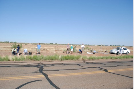
Winslow, southern limit, and observing
location ("
X" marks the
spot). North is up.
Click
HERE
for a larger, higher-resolution photo.
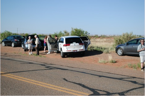
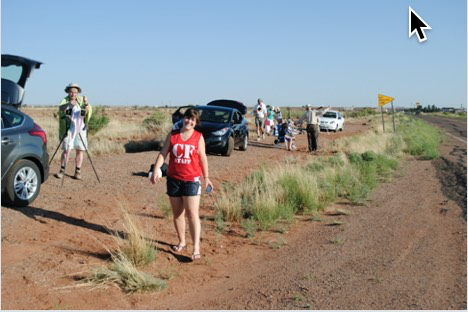
This observing site was ideal from
both an eclipse viewing and logistical standpoint. Being just
beyond the northern periphery of the town the site was fairly isolated
on an infrequently used, but very good condition, road - just off the
main interstate (see map below with north to the right) and also
provided nearly unobscured views to the astronomical horizon.
Additionally, the location was VERY close to lodging (just a couple of
minutes drive to the ECONOLODGE where we stayed the night prior) and
ample places to fill our stomachs (no need for take-along peanut butter
sandwiches).
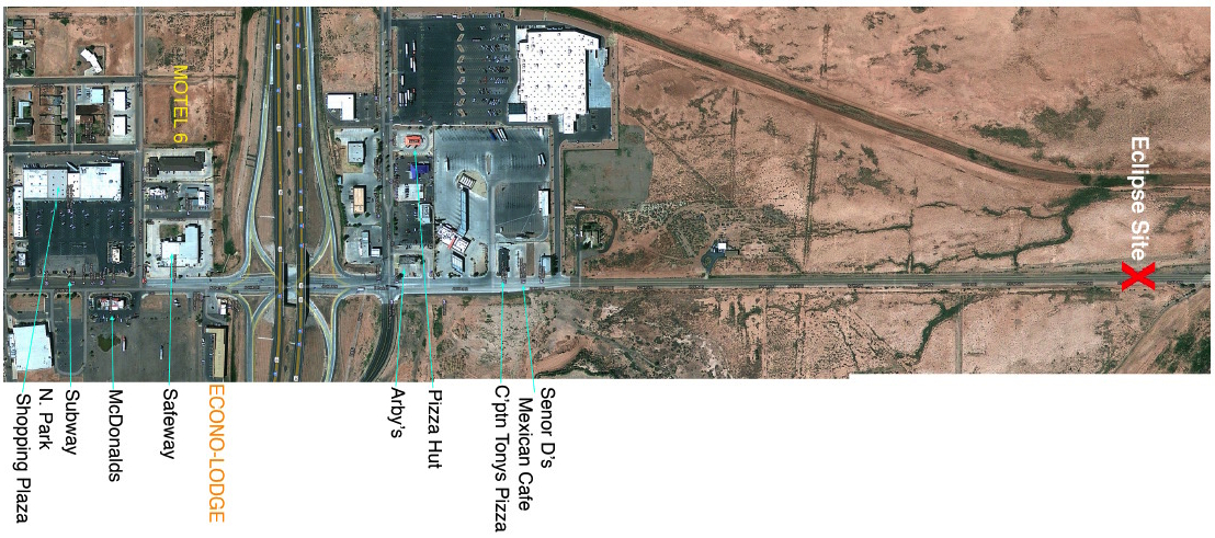
Close-up view of the observing area and local infrastructure.
North is to the right.
Click
HERE
for a larger, high-resolution photo.
Click HERE
for the original pre-eclipse logistics planning page.
Latitude: 35° 03' 07.42"
N
(+35.05206°),
Longitude: 110° 41' 53.05" W
(-110.69807°)
Obscuration at Maximum Eclipse: 87.10%
Magnitude at Maximum Eclipse: 0.93326
Mean-Limb Annular Duration: 44.5 s
ECLIPSE EVENT MST Altitude
Azimuth PA VA
Contact I: 17:27:11
+21.8° 280.0° 274°
4.8°
Contact II: 18:36:19
+8.2° 289.0° 353°
2.0°
Max-Eclipse: 18:36:41
+8.1° 289.1°
2° 1.8°
Contact III: 18:47:02
+8.0° 289.1° 12°
1.5°
Sunset: 19:24:03
+0.0° 295.0° N/A N/A
Contact IV: Not Visible Below Horizon
THE
GRAZING/BEADING EVENT
During the time +/- a few minutes
inclusive centered on "mid-eclipse", in anticipation of, and during,
the lunar-edge graze, my eyes were glued to the eyepiece of a 6-inch
catadioptic telescope with a full aperture solar filter. This was
something I needed to see with my own eyes! But, the event, of
course,
was dutifully recorded with time-resolved imaging. The image
sequence
below shows the passage of the lunar limb grazing the edge of the solar
photosphere in time increments of 1 second, from left to right,
starting at 18:36:16 MST. The fine structure changing over time
due to
selenographic features along the lunar limb. Images were acquired
by
Joel Moskowitz with a Takahashi Sky 90 (90 mm diameter refracting
telescope) with a Baader full-aperture solar filter, and an AP 2X
Barlow lens to increase the image scale at the focal plane with a
Sony
NEX-VG20 camera at the image plane. The raw frames were
post-processed
by Glenn Schneider into the image sequence below. Post-processing
included: time-constrained image selection, video de-interlacing,
unsharp (2 pixel Gaussian kernel) masking, contrast/brightness
re-normalization with additional non-linear dynamic range re-stretch
across all images before multi-image compositing. The image
sequence
captures the morphology of the light profile at the limb, but not the
remarkable dynamic favor of it as experienced visually.

ASE2012 Lunar Limb Graze with 1 sec time resolution. Click on the
image or
HERE to
see at 2x scale and spatial resolution.
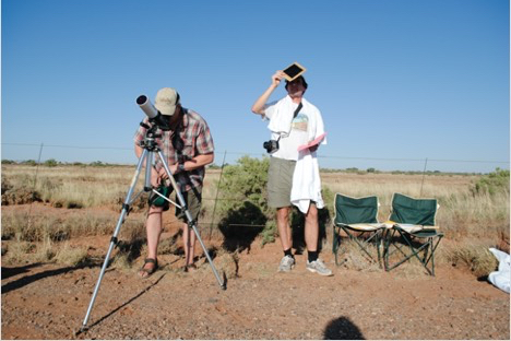
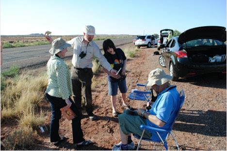
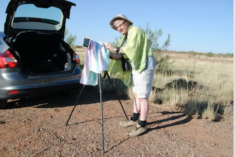
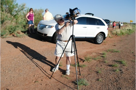
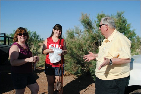
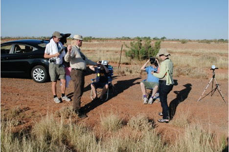
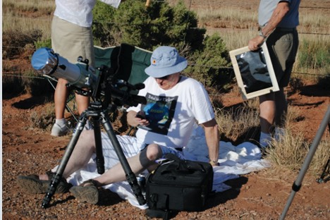
AT
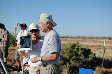
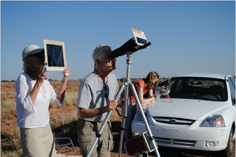
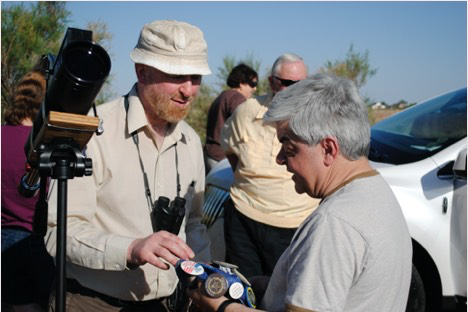
THE SITE - PRE-ANNULARITY
RETURN
to Glenn Schneider's Home Page